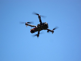
Dubai – Dubai Municipality has announced the launch of a new aerial survey service using drones to provide orthophotos and topographic maps.
The organisation said maps provided through this method would offer 200 times better clarity and 88 per cent less time than conventional surveys, contour maps and 3D points for large-scale projects.
Dawood Al Hajiri, assistant director general of Dubai Municipality for engineering and planning sector, said the new service would increase customer satisfaction and improve infrastructure.
The municipality’s survey department also unveiled a new smart app to allow developers, contractors, landowners and consultants to request maps without visiting its offices.
It said this had reduced transaction time by 67 per cent, required documents by 79 per cent and mandatory fields by 75 per cent, according to ME media reports.